
Acton Vale topographic map
Interactive map
Click on the map to display elevation.
About this map
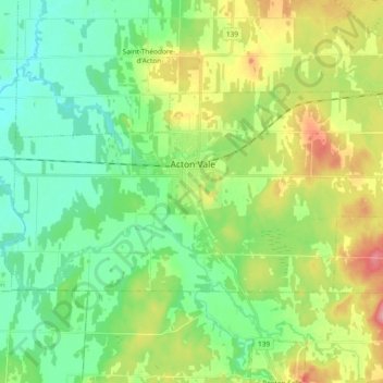
Name: Acton Vale topographic map, elevation, terrain.
Location: Acton Vale, Acton, Montérégie, Quebec, J0H 1A0, Canada (45.60450 -72.65757 45.67301 -72.47131)
Average elevation: 308 ft
Minimum elevation: 184 ft
Maximum elevation: 558 ft