
Estuary topographic map
Interactive map
Click on the map to display elevation.
About this map
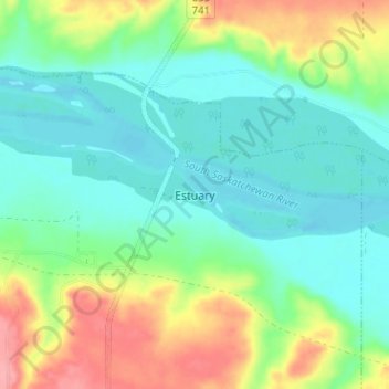
Name: Estuary topographic map, elevation, terrain.
Location: Estuary, Deer Forks No. 232, Saskatchewan, Canada (50.92203 -109.81900 50.96203 -109.77900)
Average elevation: 1,978 ft
Minimum elevation: 1,880 ft
Maximum elevation: 2,188 ft