
Great Plains topographic map
Interactive map
Click on the map to display elevation.
Great Plains
The North American Environmental Atlas, produced by the Commission for Environmental Cooperation, a NAFTA agency composed of the geographical agencies of the Mexican, American, and Canadian governments, uses the "Great Plains" as an ecoregion synonymous with predominant prairies and grasslands rather than as physiographic region defined by topography. The Great Plains ecoregion includes five sub-regions: Temperate Prairies, West-Central Semi-Arid Prairies, South-Central Semi-Arid Prairies, Texas Louisiana Coastal Plains, and Tamaulipas-Texas Semi-Arid Plain, which overlap or expand upon other Great Plains designations.
About this map
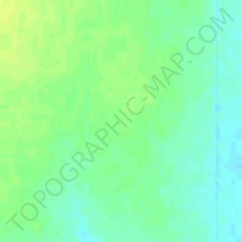
Name: Great Plains topographic map, elevation, terrain.
Location: Great Plains, Thomas County, Kansas, United States (39.41682 -101.29215 39.41692 -101.29205)
Average elevation: 3,356 ft
Minimum elevation: 3,330 ft
Maximum elevation: 3,379 ft
Thomas County trails, hiking, mountain biking, running and outdoor activities
Other topographic maps
Click on a map to view its topography, its elevation and its terrain.
Colby
United States > Kansas > Thomas County > Colby
Colby is located at 39°23′32″N 101°02′51″W / 39.392093°N 101.047532°W / 39.392093; -101.047532 (39.392093, -101.047532) at an elevation of 3,159 feet (963 m). It lies on the south side of Prairie Dog Creek, a tributary of the Republican River, in the High Plains region of the Great Plains.…
Average elevation: 3,182 ft