
Madawaska topographic map
Interactive map
Click on the map to display elevation.
About this map
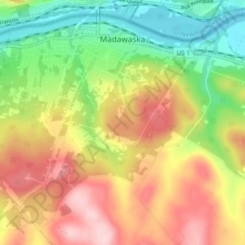
Name: Madawaska topographic map, elevation, terrain.
Location: Madawaska, Aroostook County, Maine, 04756, United States (47.32062 -68.36110 47.35941 -68.29419)
Average elevation: 791 ft
Minimum elevation: 433 ft
Maximum elevation: 1,171 ft
Aroostook County trails, hiking, mountain biking, running and outdoor activities