
Madison River topographic map
Interactive map
Click on the map to display elevation.
About this map
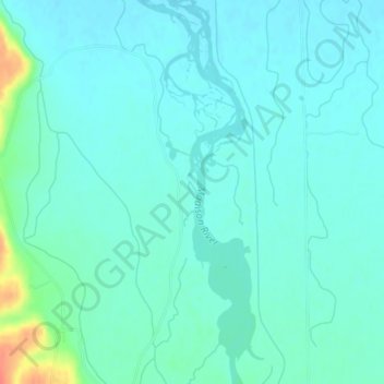
Name: Madison River topographic map, elevation, terrain.
Location: Madison River, Gallatin County, Montana, USA (45.85506 -111.49959 45.85670 -111.49862)
Average elevation: 4,131 ft
Minimum elevation: 4,098 ft
Maximum elevation: 4,272 ft
Other topographic maps
Click on a map to view its topography, its elevation and its terrain.