
Inwood topographic map
Interactive map
Click on the map to display elevation.
About this map
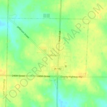
Name: Inwood topographic map, elevation, terrain.
Location: Inwood, Lyon County, Iowa, United States (43.29884 -96.44849 43.31664 -96.42010)
Average elevation: 1,457 ft
Minimum elevation: 1,411 ft
Maximum elevation: 1,486 ft
Lyon County trails, hiking, mountain biking, running and outdoor activities
Other topographic maps
Click on a map to view its topography, its elevation and its terrain.