
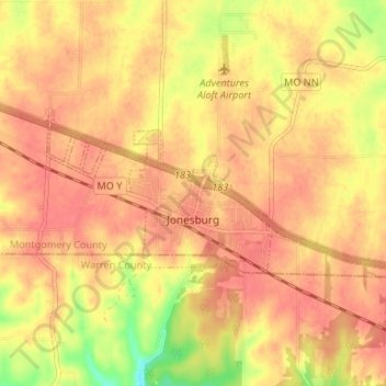
Jonesburg topographic map
Interactive map
Click on the map to display elevation.
About this map
Name: Jonesburg topographic map, elevation, terrain.
Location: Jonesburg, Montgomery County, Missouri, United States (38.84581 -91.33114 38.86785 -91.26495)
Average elevation: 869 ft
Minimum elevation: 735 ft
Maximum elevation: 922 ft
Montgomery County trails, hiking, mountain biking, running and outdoor activities
Other topographic maps
Click on a map to view its topography, its elevation and its terrain.