
Pullach im Isartal topographic map
Interactive map
Click on the map to display elevation.
About this map
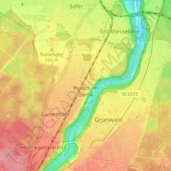
Name: Pullach im Isartal topographic map, elevation, terrain.
Location: Pullach im Isartal, Landkreis München, Bavaria, 82049, Germany (48.03591 11.48799 48.07800 11.54429)
Average elevation: 1,896 ft
Minimum elevation: 1,722 ft
Maximum elevation: 2,021 ft