Bavaria topographic maps
Click on a map to view its topography, its elevation and its terrain.
Hintersee
Germany > Bavaria > Landkreis Berchtesgadener Land > Ramsau bei Berchtesgaden
Average elevation: 3,297 ft

Walchensee
Germany > Bavaria > Landkreis Bad Tölz-Wolfratshausen > Kochel am See
Average elevation: 3,074 ft
Nationalpark Berchtesgaden
Germany > Bavaria > Landkreis Berchtesgadener Land
Average elevation: 4,695 ft

Egloffstein
Germany > Bavaria > Landkreis Forchheim > Egloffstein > Egloffstein
Average elevation: 1,512 ft






Soiernsee
Germany > Bavaria > Landkreis Garmisch-Partenkirchen > Mittenwald
Average elevation: 5,794 ft
Freising
Germany > Bavaria > Landkreis Freising
In 1802/1803 Bavaria fell under the influence of Napoleonic France in which church controlled lands were secularized. In Freising, the more than thousand-year-old bishopric was abolished. The Roman Catholic Church lost most of its properties and authority over the city. Though the seat of the diocese was moved…
Average elevation: 1,499 ft
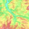
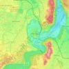
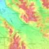
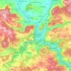

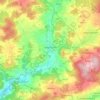
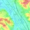
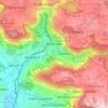

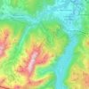
Watzmann
Germany > Bavaria > Landkreis Berchtesgadener Land > Ramsau bei Berchtesgaden
Average elevation: 3,862 ft


Fribertshofen
Germany > Bavaria > Landkreis Neumarkt in der Oberpfalz > Berching
Average elevation: 1,637 ft
86316
Germany > Bavaria > Landkreis Aichach-Friedberg > Friedberg > Wiffertshausen
Average elevation: 1,660 ft






Untersalzberg I
Germany > Bavaria > Landkreis Berchtesgadener Land > Berchtesgaden
Average elevation: 2,487 ft



Oberschwaben
Due to Upper Swabia's altitude and hilly terrain, agriculture consists mainly of dairy farming, the exception being the basin of the river Schussen, where the predominant produce is hops and fruits.
Average elevation: 2,723 ft

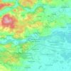
Herzogenaurach
Germany > Bavaria > Landkreis Erlangen-Höchstadt > Herzogenaurach
Average elevation: 1,079 ft