
Cool topographic map
Interactive map
Click on the map to display elevation.
About this map
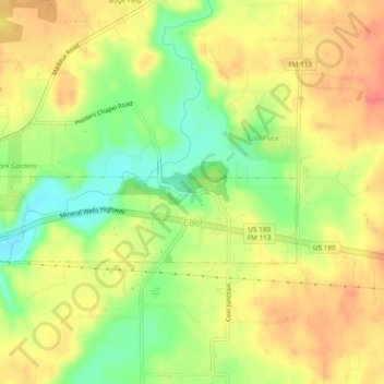
Name: Cool topographic map, elevation, terrain.
Location: Cool, Parker County, Texas, United States of America (32.79586 -98.03591 32.81071 -97.98819)
Average elevation: 932 ft
Minimum elevation: 820 ft
Maximum elevation: 1,020 ft