
Arden Hills topographic map
Interactive map
Click on the map to display elevation.
About this map
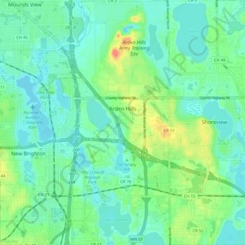
Name: Arden Hills topographic map, elevation, terrain.
Location: Arden Hills, Ramsey County, Minnesota, United States (45.03572 -93.18856 45.10807 -93.14696)
Average elevation: 919 ft
Minimum elevation: 863 ft
Maximum elevation: 1,079 ft
Minnesota trails, hiking, mountain biking, running and outdoor activities