
Helena topographic map
Interactive map
Click on the map to display elevation.
About this map
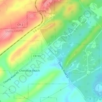
Name: Helena topographic map, elevation, terrain.
Location: Helena, Shelby County, Alabama, United States of America (33.29714 -86.90158 33.29897 -86.90007)
Average elevation: 522 ft
Minimum elevation: 384 ft
Maximum elevation: 758 ft