
Plato topographic map
Interactive map
Click on the map to display elevation.
About this map
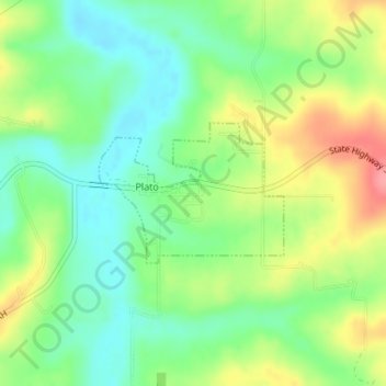
Name: Plato topographic map, elevation, terrain.
Location: Plato, Texas County, Missouri, United States of America (37.49831 -92.22912 37.50813 -92.21282)
Average elevation: 1,145 ft
Minimum elevation: 1,030 ft
Maximum elevation: 1,322 ft