
Oglesby topographic map
Interactive map
Click on the map to display elevation.
About this map
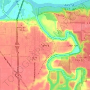
Name: Oglesby topographic map, elevation, terrain.
Location: Oglesby, LaSalle County, Illinois, 61348, United States (41.28040 -89.10564 41.31046 -89.03074)
Average elevation: 581 ft
Minimum elevation: 440 ft
Maximum elevation: 663 ft
LaSalle County trails, hiking, mountain biking, running and outdoor activities
Other topographic maps
Click on a map to view its topography, its elevation and its terrain.