
Dowagiac topographic map
Interactive map
Click on the map to display elevation.
About this map
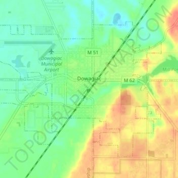
Name: Dowagiac topographic map, elevation, terrain.
Location: Dowagiac, Cass County, Michigan, United States (41.96333 -86.14641 41.99925 -86.08281)
Average elevation: 781 ft
Minimum elevation: 715 ft
Maximum elevation: 869 ft
Cass County trails, hiking, mountain biking, running and outdoor activities
Other topographic maps
Click on a map to view its topography, its elevation and its terrain.