
Chimney Mountain topographic map
Interactive map
Click on the map to display elevation.
About this map
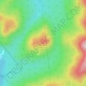
Name: Chimney Mountain topographic map, elevation, terrain.
Average elevation: 2,156 ft
Minimum elevation: 1,716 ft
Maximum elevation: 2,920 ft
Other topographic maps
Click on a map to view its topography, its elevation and its terrain.
Belleayre Mountain Ski Center
United States of America > New York > Pine Hill
Average elevation: 2,421 ft
Salt Hill State Forest
United States of America > New York > Cortlandt > Mount Airy
Average elevation: 335 ft
Manhattan Community Board 8
United States of America > New York > Manhattan Community Board 8
Average elevation: 59 ft
Manhattan Community Board 5
United States of America > New York > Manhattan Community Board 5
Average elevation: 56 ft