
Clarksville topographic map
Interactive map
Click on the map to display elevation.
About this map
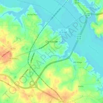
Name: Clarksville topographic map, elevation, terrain.
Location: Clarksville, Mecklenburg County, Virginia, United States (36.59931 -78.58266 36.64073 -78.53656)
Average elevation: 348 ft
Minimum elevation: 292 ft
Maximum elevation: 436 ft
Mecklenburg County trails, hiking, mountain biking, running and outdoor activities
Other topographic maps
Click on a map to view its topography, its elevation and its terrain.