
Village of Hammondsport topographic map
Interactive map
Click on the map to display elevation.
About this map
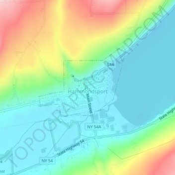
Name: Village of Hammondsport topographic map, elevation, terrain.
Average elevation: 945 ft
Minimum elevation: 699 ft
Maximum elevation: 1,490 ft
Steuben County trails, hiking, mountain biking, running and outdoor activities
Other topographic maps
Click on a map to view its topography, its elevation and its terrain.
Cameron Mills
United States > New York > Steuben County > Town of Rathbone
Average elevation: 1,411 ft