
Thank you for supporting this site ❤️
Make a donation
Make a donation
Gear up for your next adventure:
As an Amazon Associate, this site earns from qualifying purchases at no extra cost to you.
Shengping topographic map
Click on the map to display elevation.
Thank you for supporting this site ❤️
Make a donation
Make a donation
Gear up for your next adventure:
As an Amazon Associate, this site earns from qualifying purchases at no extra cost to you.
About this map
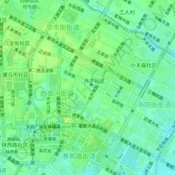
Name: Shengping topographic map, elevation, terrain.
Location: Shengping, Xiyuhe, Chengdu City, Sichuan, China (30.66222 104.06987 30.67126 104.07682)
Average elevation: 1,647 ft
Minimum elevation: 1,621 ft
Maximum elevation: 1,677 ft
Thank you for supporting this site ❤️
Make a donation
Make a donation
Gear up for your next adventure:
As an Amazon Associate, this site earns from qualifying purchases at no extra cost to you.