
Ordway topographic map
Click on the map to display elevation.
Exploring new terrains?
Equip yourself with the best gear to stay safe, comfortable, and prepared:
As an Amazon Associate, I earn from qualifying purchases at no extra cost to you.
About this map
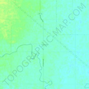
Name: Ordway topographic map, elevation, terrain.
Location: Ordway, Brown County, South Dakota, United States of America (45.55815 -98.43201 45.59815 -98.39201)
Average elevation: 1,309 ft
Minimum elevation: 1,293 ft
Maximum elevation: 1,339 ft