
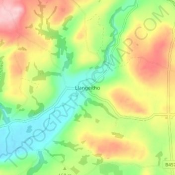
Llangeitho topographic map
Interactive map
Click on the map to display elevation.
About this map
Name: Llangeitho topographic map, elevation, terrain.
Location: Llangeitho, Ceredigion, Wales, SY25 6SU, United Kingdom (52.19886 -4.04108 52.23886 -4.00108)
Average elevation: 554 ft
Minimum elevation: 276 ft
Maximum elevation: 915 ft
Other topographic maps
Click on a map to view its topography, its elevation and its terrain.