
Griswold topographic map
Interactive map
Click on the map to display elevation.
About this map
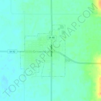
Name: Griswold topographic map, elevation, terrain.
Location: Griswold, Cass County, Iowa, United States (41.22809 -95.14831 41.24189 -95.13238)
Average elevation: 1,102 ft
Minimum elevation: 1,073 ft
Maximum elevation: 1,181 ft
Cass County trails, hiking, mountain biking, running and outdoor activities