
Loch Erin topographic map
Interactive map
Click on the map to display elevation.
About this map
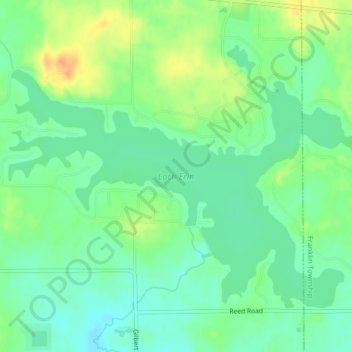
Name: Loch Erin topographic map, elevation, terrain.
Average elevation: 935 ft
Minimum elevation: 889 ft
Maximum elevation: 1,010 ft
Lenawee County trails, hiking, mountain biking, running and outdoor activities
Other topographic maps
Click on a map to view its topography, its elevation and its terrain.
Ridgeway Township
United States > Michigan > Lenawee County > Ridgeway Township
Average elevation: 696 ft