
Wray topographic map
Interactive map
Click on the map to display elevation.
About this map
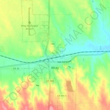
Name: Wray topographic map, elevation, terrain.
Location: Wray, Yuma County, Colorado, 80758, United States (40.05336 -102.24665 40.11171 -102.20842)
Average elevation: 3,632 ft
Minimum elevation: 3,478 ft
Maximum elevation: 3,855 ft
Yuma County trails, hiking, mountain biking, running and outdoor activities
Other topographic maps
Click on a map to view its topography, its elevation and its terrain.