
Blaine topographic map
Interactive map
Click on the map to display elevation.
About this map
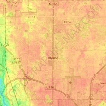
Name: Blaine topographic map, elevation, terrain.
Location: Blaine, Anoka County, Minnesota, United States (45.11857 -93.26694 45.21159 -93.14242)
Average elevation: 899 ft
Minimum elevation: 804 ft
Maximum elevation: 928 ft
Anoka County trails, hiking, mountain biking, running and outdoor activities
Other topographic maps
Click on a map to view its topography, its elevation and its terrain.