
Polk topographic map
Interactive map
Click on the map to display elevation.
About this map
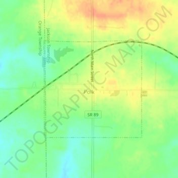
Name: Polk topographic map, elevation, terrain.
Location: Polk, Jackson Township, Ashland County, Ohio, United States (40.93756 -82.22459 40.95233 -82.20487)
Average elevation: 1,243 ft
Minimum elevation: 1,178 ft
Maximum elevation: 1,312 ft
Ashland County trails, hiking, mountain biking, running and outdoor activities
Other topographic maps
Click on a map to view its topography, its elevation and its terrain.
Ashland County Fairgrounds
United States > Ohio > Ashland County > Ashland
Average elevation: 1,247 ft