
James Township topographic map
Interactive map
Click on the map to display elevation.
About this map
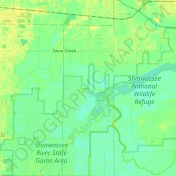
Name: James Township topographic map, elevation, terrain.
Location: James Township, Saginaw County, Michigan, United States (43.30749 -84.09266 43.40856 -83.96702)
Average elevation: 591 ft
Minimum elevation: 568 ft
Maximum elevation: 620 ft
Saginaw County trails, hiking, mountain biking, running and outdoor activities
Other topographic maps
Click on a map to view its topography, its elevation and its terrain.