
Esja topographic map
Interactive map
Click on the map to display elevation.
About this map
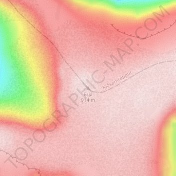
Name: Esja topographic map, elevation, terrain.
Location: Esja, Kjósarhreppur, Capital Region, Iceland (64.24496 -21.65691 64.24506 -21.65681)
Average elevation: 2,605 ft
Minimum elevation: 1,752 ft
Maximum elevation: 2,841 ft