
Headland topographic map
Click on the map to display elevation.
Exploring new terrains?
Equip yourself with the best gear to stay safe, comfortable, and prepared:
As an Amazon Associate, I earn from qualifying purchases at no extra cost to you.
About this map
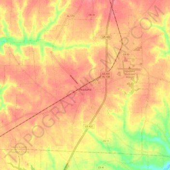
Name: Headland topographic map, elevation, terrain.
Location: Headland, Henry County, Alabama, 36345, United States (31.31165 -85.41740 31.39636 -85.29712)
Average elevation: 335 ft
Minimum elevation: 167 ft
Maximum elevation: 413 ft
Henry County trails, hiking, mountain biking, running and outdoor activities
Other topographic maps
Click on a map to view its topography, its elevation and its terrain.