
Reserve topographic map
Interactive map
Click on the map to display elevation.
About this map
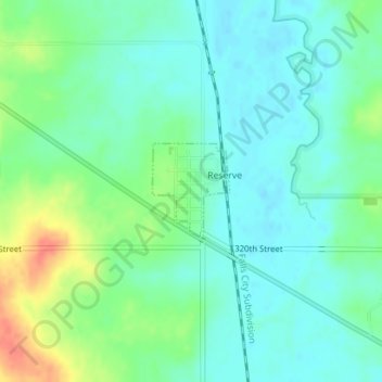
Name: Reserve topographic map, elevation, terrain.
Location: Reserve, Brown County, Kansas, United States (39.97270 -95.56863 39.97946 -95.56147)
Average elevation: 938 ft
Minimum elevation: 892 ft
Maximum elevation: 1,060 ft
Brown County trails, hiking, mountain biking, running and outdoor activities