
Cedar Bluff topographic map
Interactive map
Click on the map to display elevation.
About this map
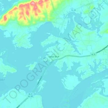
Name: Cedar Bluff topographic map, elevation, terrain.
Location: Cedar Bluff, Cherokee County, Alabama, 35959, United States (34.18860 -85.64283 34.25579 -85.54034)
Average elevation: 591 ft
Minimum elevation: 535 ft
Maximum elevation: 1,017 ft
Cherokee County trails, hiking, mountain biking, running and outdoor activities