
Bastos topographic map
Interactive map
Click on the map to display elevation.
Bastos
Bastos is a municipality in the state of São Paulo in Brazil. The population is 21,067 (2015 est.) in an area of 172 km2. The elevation is 445 m.
About this map
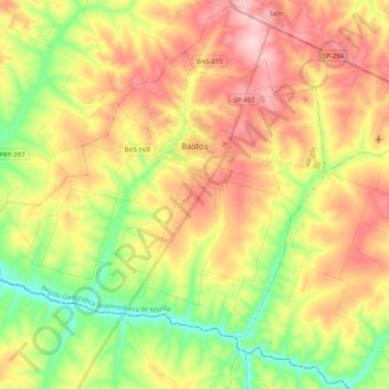
Name: Bastos topographic map, elevation, terrain.
Average elevation: 1,424 ft
Minimum elevation: 1,089 ft
Maximum elevation: 1,775 ft