
Bush topographic map
Interactive map
Click on the map to display elevation.
About this map
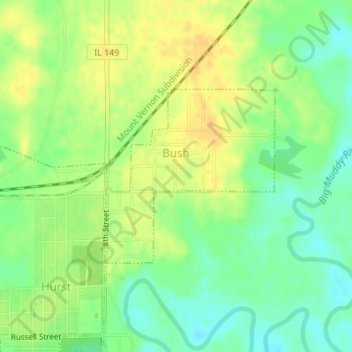
Name: Bush topographic map, elevation, terrain.
Location: Bush, Williamson County, Illinois, United States (37.83491 -89.13812 37.84828 -89.12155)
Average elevation: 390 ft
Minimum elevation: 344 ft
Maximum elevation: 430 ft
Williamson County trails, hiking, mountain biking, running and outdoor activities
Other topographic maps
Click on a map to view its topography, its elevation and its terrain.