
Malvern Hills topographic map
Interactive map
Click on the map to display elevation.
About this map
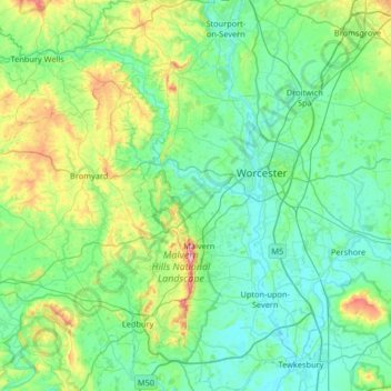
Name: Malvern Hills topographic map, elevation, terrain.
Average elevation: 269 ft
Minimum elevation: 23 ft
Maximum elevation: 1,388 ft
Other topographic maps
Click on a map to view its topography, its elevation and its terrain.
The Grove at Ryall
United Kingdom > England > Malvern Hills > Ryall > The Grove at Ryall
Average elevation: 56 ft