
Saunders topographic map
Interactive map
Click on the map to display elevation.
About this map
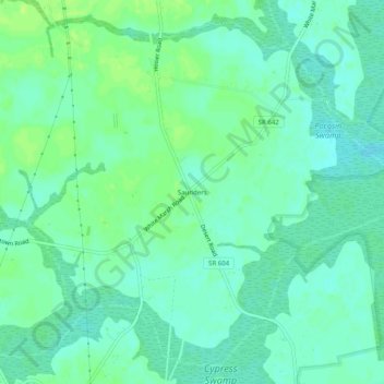
Name: Saunders topographic map, elevation, terrain.
Location: Saunders, Suffolk (city), Virginia, United States of America (36.62015 -76.59551 36.66015 -76.55551)
Average elevation: 46 ft
Minimum elevation: 26 ft
Maximum elevation: 72 ft