
Bethesda topographic map
Interactive map
Click on the map to display elevation.
About this map
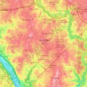
Name: Bethesda topographic map, elevation, terrain.
Location: Bethesda, Montgomery County, Maryland, United States (38.94040 -77.15856 39.02242 -77.07716)
Average elevation: 266 ft
Minimum elevation: 13 ft
Maximum elevation: 423 ft
Montgomery County trails, hiking, mountain biking, running and outdoor activities