
Draper topographic map
Interactive map
Click on the map to display elevation.
About this map
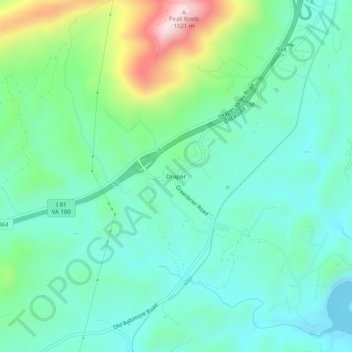
Name: Draper topographic map, elevation, terrain.
Location: Draper, Pulaski County, Virginia, 24324, United States (36.98595 -80.76729 37.02595 -80.72729)
Average elevation: 2,208 ft
Minimum elevation: 1,847 ft
Maximum elevation: 3,301 ft
Pulaski County trails, hiking, mountain biking, running and outdoor activities