
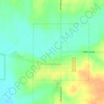
Little Rock topographic map
Interactive map
Click on the map to display elevation.
About this map
Name: Little Rock topographic map, elevation, terrain.
Location: Little Rock, Lyon County, Iowa, United States (43.43984 -95.89042 43.45446 -95.87047)
Average elevation: 1,476 ft
Minimum elevation: 1,427 ft
Maximum elevation: 1,549 ft
Lyon County trails, hiking, mountain biking, running and outdoor activities
Other topographic maps
Click on a map to view its topography, its elevation and its terrain.