
Miakka topographic map
Interactive map
Click on the map to display elevation.
About this map
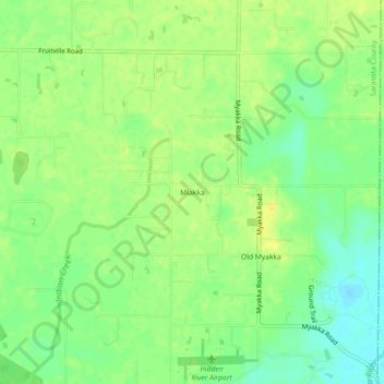
Name: Miakka topographic map, elevation, terrain.
Location: Miakka, Sarasota County, Florida, United States of America (27.29977 -82.29481 27.33977 -82.25481)
Average elevation: 49 ft
Minimum elevation: 7 ft
Maximum elevation: 79 ft