
Montezuma topographic map
Interactive map
Click on the map to display elevation.
About this map
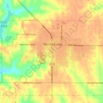
Name: Montezuma topographic map, elevation, terrain.
Location: Montezuma, Poweshiek County, Iowa, 50171, United States (41.57427 -92.54698 41.59247 -92.50686)
Average elevation: 932 ft
Minimum elevation: 840 ft
Maximum elevation: 965 ft
Poweshiek County trails, hiking, mountain biking, running and outdoor activities