
Vista topographic map
Interactive map
Click on the map to display elevation.
About this map
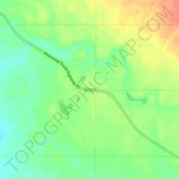
Name: Vista topographic map, elevation, terrain.
Location: Vista, Manitoba, Canada (50.60445 -100.73970 50.64445 -100.69970)
Average elevation: 1,939 ft
Minimum elevation: 1,877 ft
Maximum elevation: 2,028 ft