
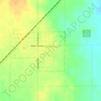
Hazelton topographic map
Interactive map
Click on the map to display elevation.
About this map
Name: Hazelton topographic map, elevation, terrain.
Location: Hazelton, Barber County, Kansas, United States (37.08366 -98.41203 37.09467 -98.39352)
Average elevation: 1,355 ft
Minimum elevation: 1,302 ft
Maximum elevation: 1,394 ft
Barber County trails, hiking, mountain biking, running and outdoor activities
Other topographic maps
Click on a map to view its topography, its elevation and its terrain.