
Toomsboro topographic map
Interactive map
Click on the map to display elevation.
About this map
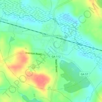
Name: Toomsboro topographic map, elevation, terrain.
Location: Toomsboro, Wilkinson County, Georgia, United States (32.81223 -83.09721 32.83337 -83.06435)
Average elevation: 266 ft
Minimum elevation: 194 ft
Maximum elevation: 400 ft
Wilkinson County trails, hiking, mountain biking, running and outdoor activities
Other topographic maps
Click on a map to view its topography, its elevation and its terrain.