
Witt topographic map
Interactive map
Click on the map to display elevation.
About this map
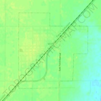
Name: Witt topographic map, elevation, terrain.
Location: Witt, Montgomery County, Illinois, 62094, United States (39.24452 -89.35924 39.26475 -89.33531)
Average elevation: 659 ft
Minimum elevation: 630 ft
Maximum elevation: 679 ft
Montgomery County trails, hiking, mountain biking, running and outdoor activities
Other topographic maps
Click on a map to view its topography, its elevation and its terrain.