
Davison Township topographic map
Interactive map
Click on the map to display elevation.
About this map
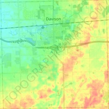
Name: Davison Township topographic map, elevation, terrain.
Location: Davison Township, Genesee County, Michigan, United States (42.96147 -83.57655 43.05001 -83.45678)
Average elevation: 820 ft
Minimum elevation: 758 ft
Maximum elevation: 896 ft
Genesee County trails, hiking, mountain biking, running and outdoor activities
Other topographic maps
Click on a map to view its topography, its elevation and its terrain.