
Butts topographic map
Interactive map
Click on the map to display elevation.
About this map
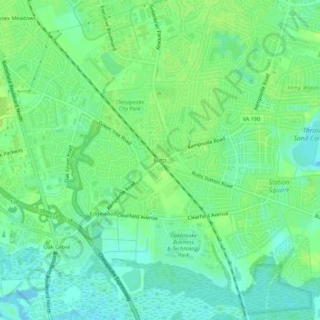
Name: Butts topographic map, elevation, terrain.
Location: Butts, Chesapeake, Virginia, 23320, United States (36.72348 -76.24383 36.76348 -76.20383)
Average elevation: 23 ft
Minimum elevation: -7 ft
Maximum elevation: 43 ft
Virginia trails, hiking, mountain biking, running and outdoor activities
Other topographic maps
Click on a map to view its topography, its elevation and its terrain.