
Las Lajas topographic map
Interactive map
Click on the map to display elevation.
About this map
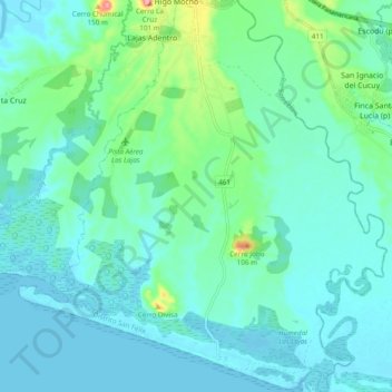
Name: Las Lajas topographic map, elevation, terrain.
Location: Las Lajas, Distrito de San Félix, Chiriquí, Panama (8.16126 -81.91366 8.25593 -81.82390)
Average elevation: 72 ft
Minimum elevation: -7 ft
Maximum elevation: 417 ft