
High Top topographic map
Interactive map
Click on the map to display elevation.
About this map
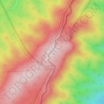
Name: High Top topographic map, elevation, terrain.
Location: High Top, Bath County, Virginia, United States of America (38.06811 -79.96051 38.06821 -79.96041)
Average elevation: 3,097 ft
Minimum elevation: 2,172 ft
Maximum elevation: 3,635 ft
Other topographic maps
Click on a map to view its topography, its elevation and its terrain.
Poquoson
United States of America > Virginia > Poquoson
Additionally, the geographic location of the city, with respect to the principal storm tracks, is generally favorable, as it is south of the usual path of storms originating in the higher latitudes, and north of the usual tracks of hurricanes and other major tropical storms. However, when in the path of a…
Average elevation: 7 ft