
Winfield topographic map
Interactive map
Click on the map to display elevation.
About this map
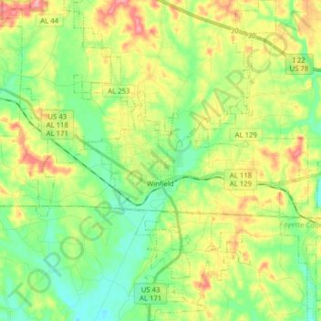
Name: Winfield topographic map, elevation, terrain.
Location: Winfield, Marion County, Alabama, 35594, United States (33.87386 -87.85455 34.00338 -87.74142)
Average elevation: 545 ft
Minimum elevation: 404 ft
Maximum elevation: 778 ft
Marion County trails, hiking, mountain biking, running and outdoor activities
Other topographic maps
Click on a map to view its topography, its elevation and its terrain.