
Coeburn topographic map
Interactive map
Click on the map to display elevation.
About this map
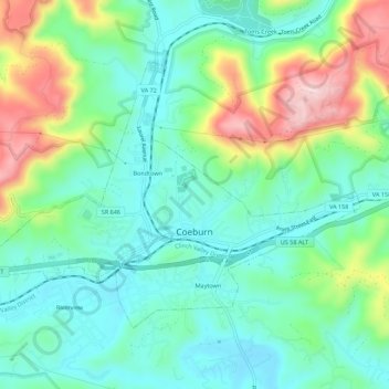
Name: Coeburn topographic map, elevation, terrain.
Location: Coeburn, Wise County, Virginia, 24230, United States (36.93300 -82.49569 36.96334 -82.44038)
Average elevation: 2,201 ft
Minimum elevation: 1,932 ft
Maximum elevation: 2,822 ft
Wise County trails, hiking, mountain biking, running and outdoor activities
Other topographic maps
Click on a map to view its topography, its elevation and its terrain.